
Fountain Springs Rest Area
Fountain Springs Rest Area
About this campsite
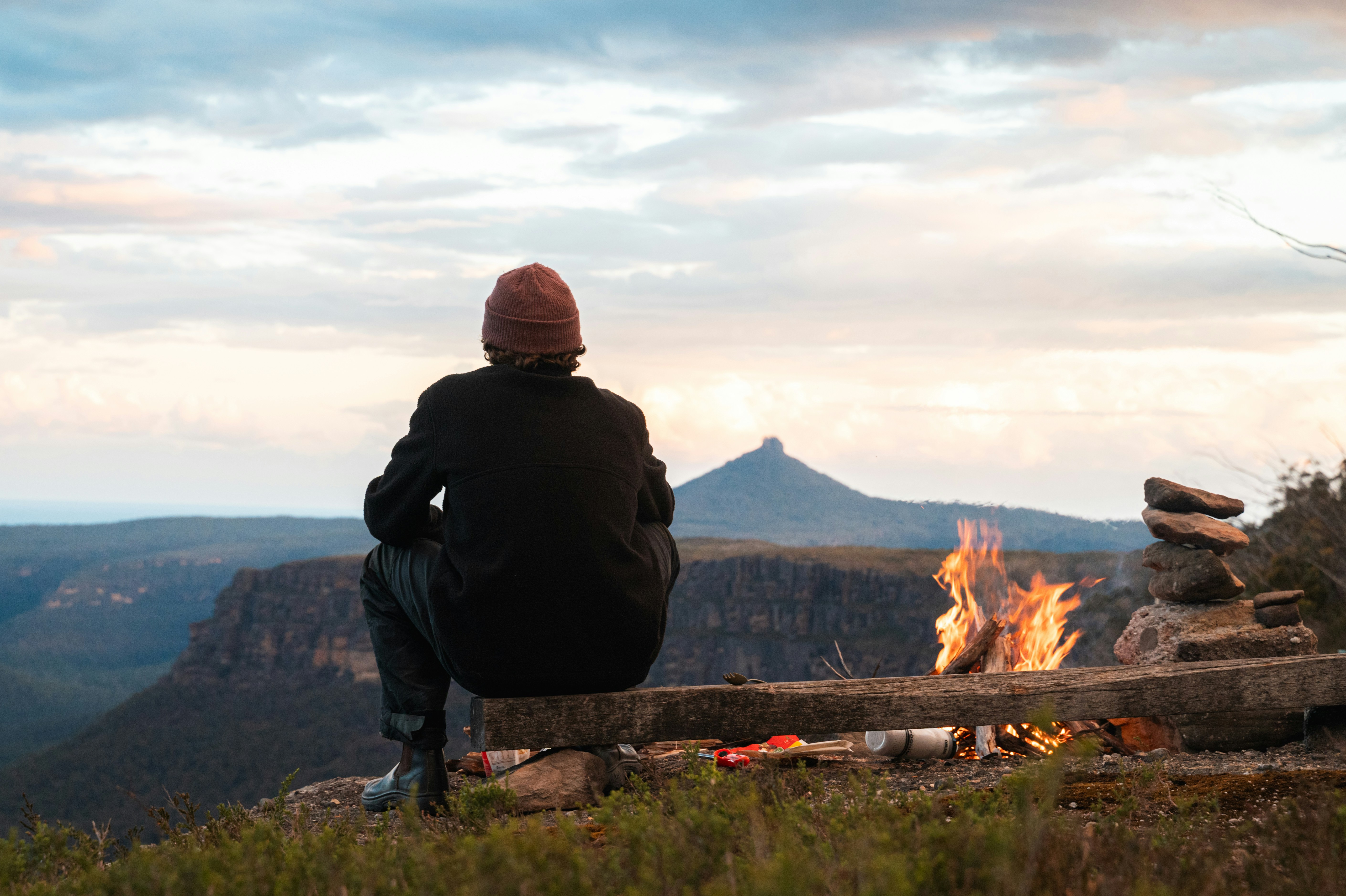
Fountain Springs Rest Area, a local favorite situated 60 kilometers east of Mount Isa, makes for a perfect day trip or an overnight camping spot. The location offers an engaging off-road adventure through the picturesque Fountain Range. It takes you to a beautiful permanent deep waterhole where you get the opportunity to observe various wildlife species. While you're there, you could also explore the old uranium mining township of Mary Kathleen, which is located nearby.
How to Get There
Features & Facilities
Amenities
Accommodation Types
Facilities
Rules & Accessibility
Other Features
Weather Forecast
via Open-MeteoNearby Campsites
within 50kmMary Kathleen Old Township
Mary Kathleen, QLD
Mary Kathleen is a fascinating ghost town nestled on a private cattle property, once a bustling uranium mine from 1954 to 1984. Visitors can meander through evocative streets and concrete slabs, vestiges of its past. It's a history lover's paradise. Respect for the property is key to ensure its preservation, with strict rules against firearms and cutting trees. It has also been featured in news stories, adding to its captivating allure.
Lake Mary Kathleen
Kuridala, QLD
Lake Mary Kathleen is nestled on Rosebud Station, far removed from any old uranium mines to offer a safe and scenic location. This large, serene body of water, created by a dam on the Leichhardt River, is ideal for tranquil strolls, lakeside picnics, nature photography, and bird watching. Visitors can enjoy the untouched beauty of the area and its rich biodiversity.
Mary Kathleen Mine Site
Mary Kathleen, QLD
The Mary Kathleen Mine Site, located in Northwest Queensland, is a former mining operation rich in history. Known for its uranium production from 1954 to 1984, the site now features an amazingly vibrant blue lake deep within the open pit mine, a visual spectacle attracting many visitors. However, caution is advised due to its toxicity and radioactivity. Beautiful and haunting, the site is a stark reminder of human impact on natural resources. Enjoy the breathtaking view, and learn about its important place in industrial history.
Wal's Camp
Cloncurry, QLD
Wal's Camp, situated in the outskirts of Cloncurry, is an emerging destination in nature's lap, offering genuine bush camping experience. It is a work-in-progress that in time promises to evolve into an established caravan park. The space occasionally offers power facilities to campers. Immerse yourself in the tranquil bush environment, and anticipate the evolution of this burgeoning site.
Similar Campsites
based on featuresCampsite Explorer
Explore near Cloncurry
Own This Campsite?
Claim your listing to manage information, respond to reviews, and update details.
Share Your Experience
Help fellow campers by sharing your photos and reviews.
Free Camping Essentials
Be self-sufficient out in the bush
![[6-PACK] EARTH Japan Anti-pollen Anti-PM2.5 Moisturizing Protective Spray Liquid Mask 75ml](https://cdn.shopify.com/s/files/1/0466/4688/6566/files/V229-4901080576910-120512-00.jpg?v=1717073603) -17%
-17%Camping Australia
[6-PACK] EARTH Japan Anti-pollen Anti-PM2.5 Moisturizing Protective Spray Liquid Mask 75ml
 -33%
-33%Camping Australia
White Polyester (for home use) Without Wire Core Heavy Duty Adjustable Clothesline Set (2 Pack) - 15m Steel Wire Core Nylon Rope with Hooks for Outdoor & Camping
 -33%
-33%Camping Australia
White With Wire Core Heavy Duty Adjustable Clothesline Set (4 Pack) - 10m Steel Wire Core Nylon Rope with Hooks for Outdoor & Camping
 -46%
-46%Camping Australia
32 In 1 Emergency Survival Equipment Kit Camping SOS Tool Sports Tactical Hiking
Missing a campsite?
If this listing needs an update—or if you know a nearby campsite that isn’t on our map yet—send the details through and our editorial team will take a look.
Recommend a CampsiteBarkly Highway
Cloncurry, QLD 4824